A View from Above!
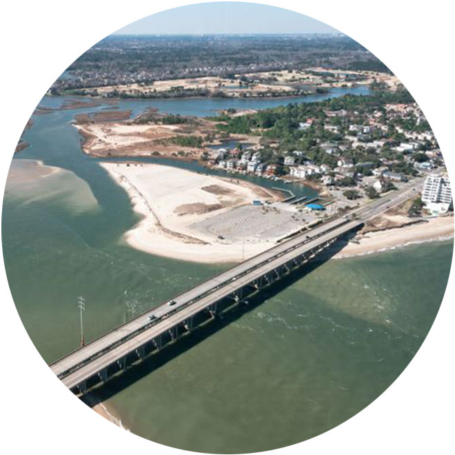
Have you ever wondered what our world looks like from a birdís perspective? During a visit last year to Mt. Trashmore in Virginia Beach, I wondered just that. From the top of the former landfill, I surveyed the buildings of town center, daydreaming about how small I must look to a bird flying above. Fortunately, with a little technology and ingenuity, our dreams of capturing ìa view from aboveî are now reality!
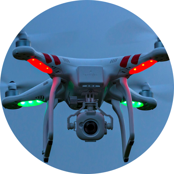
As you may have heard, drones have become extremely popular and accessible to the average person. Perhaps youíve been at a wedding or a reunion where drones were used to capture a group picture or video clip. The fact is that drones are starting to pop up everywhere, and their technological potential has yet to be fully unleashed!
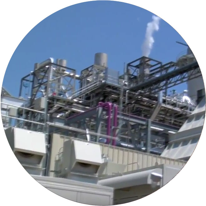
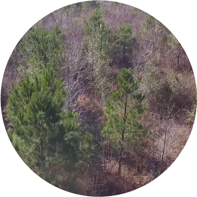
Here at MAP Environmental, we often find ourselves working on very large properties ñ some of which would take us weeks to fully explore and analyze! With the help of one of our scientists (who also happens to have his FAA Drone Pilot license), weíre able to gather helpful reconnaissance before we even go out to a specific site! In the clip below, our scientist was able to gather intel on a large property in Chesapeake, which helped us formulate a more efficient plan for our site visit and subsequent wetlands delineation:
As consultants, we know that no amount of technology can ever replace the value of personalized expertise and counsel. Here at MAP Environmental, we see the new trends in technology as an opportunity to hone advanced skills that will aide our services and enhance our overall product!
We look forward to how drone technology will evolve in the coming years, and you can be sure that MAP Environmental will be ahead of the curve. Let us know if you are interested in what our aerial photography can do for your next project or marketing effort!