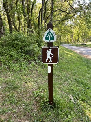
Appalachian Trail
The last week of April, MAP Environmental Inc ventured out to the western part of Virginia and a beautiful 15-mile segment of the Appalachian Trail (AT). The trek consisted of a rather steep portion of the AT beginning at the community of Oronoco – off Route 60 and east of Buena Vista – and travelling northeast to Cole Mountain. The journey was made by Myles A. Pocta and his colleague, Jim Brown.
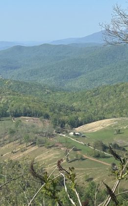
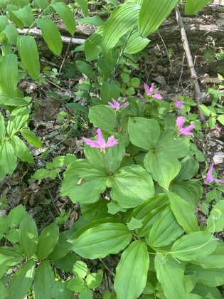
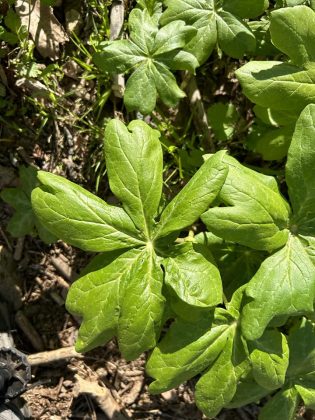
In spite of the unseasonable weather, their 15-mile journey allowed them to attain 5,000 ft above mean sea level. Along the journey, they traversed some of the most scenic, wooded, pastoral, wild and culturally resident lands of the Appalachian mountains. Not surprisingly, they were treated to some of the most prolific flora and fauna in Virginia. Perhaps one of the most striking features was the many wildflowers such as the Virginia least trillium, mountain azalea, mayapple, jack-in-the pulpit, pink lady’s slipper, and spring beauty.
It was a truly awesome, blessed journey – full of majestic views and incredible sights and sounds of Spring.
Indeed, it was a buen camino!