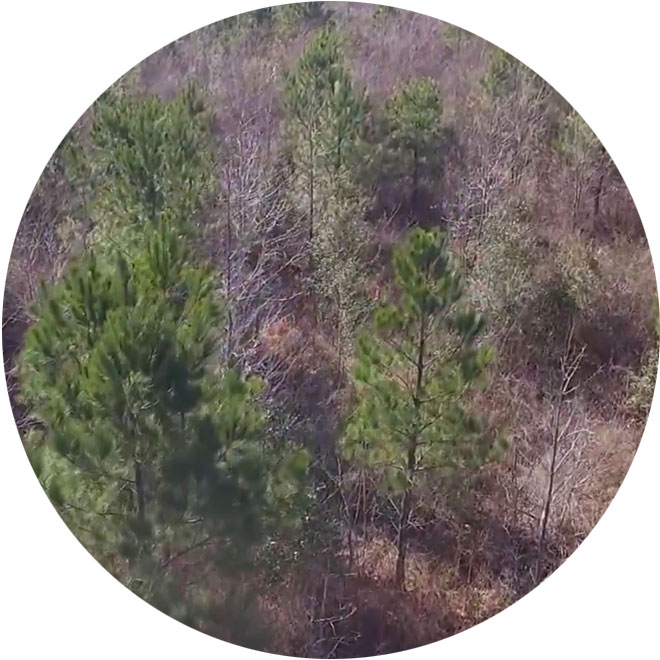
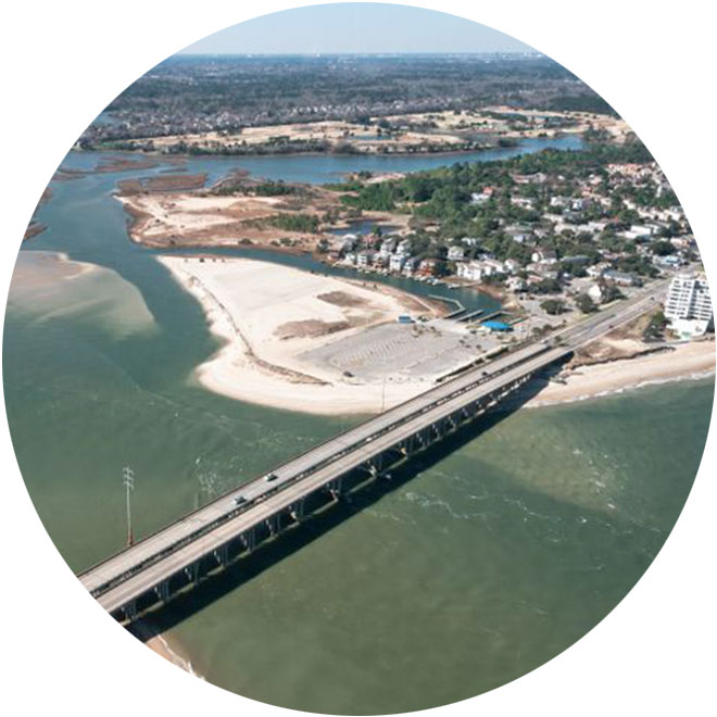
Elizabeth River Wetland and Floodplain Project
Earlier this month – January 7, 2026 – MAP Environmental Inc. participated in the Pre-Construction Meeting for the Elizabeth River Wetland and Floodplain Restoration project. According to the project Joint Permit Application, the proposed project involves three major components:
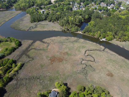
- Component 1 – Installation of shoreline protection including upland shoreline protection, high marsh shoreline protection, and vegetated bank-full floodplain-wetland shelves. Upland Shoreline Protection will involve creating a bench with fill placed between triple hardwood logs riverside and a coir log bankside, with a rip-rap toe, to address erosion on steeper banks adjacent to uplands. High Marsh Shoreline Protections will involve the same basic structure as the Upland Shoreline Protection at a gentler slope where current shoreline conditions can facilitate a flatter bank. Lastly, Vegetated Bank-full Floodplain-Wetland Shelves will be created using fill behind a coir log and riprap toe to establish a wider, shallower estuarine marsh area along portions of the riverbank with lower profiles.
- Component 2 – Modification of existing stormwater conveyance ditches to include step-pools and riffle weirs. A modified step-pool stormwater conveyance design will be used to modify the existing stormwater ditches. These modifications are intended to slow the transmission of stormwaters to the Eastern Branch and reduce erosion in the ditches and reduce sediment and nutrient loads to the Elizabeth River. Construction access for these activities will be from upland areas and will not result in any additional impacts to jurisdictional features.
- Component 3 – Installation of a trail and educational placards within the Arrowhead Elementary School property. This project presents an opportunity to facilitate park/recreations amenities, including educational materials, in the City properties adjacent to the project area. It is proposed that a more formal gravel path be established in place of informal dirt paths the woods adjacent to Arrowhead Elementary School leading up to the proposed living shoreline areas. The proposed path would include viewpoints near the shoreline as well as educational placards explaining the shoreline stabilization and marsh restoration measures enacted for this project.
Work is anticipated to begin in the next 30-60 days, with significant activities and planting to occur by this Spring. MAP Environmental Inc. will be assisting Dewberry Engineers and the City of Virginia Beach on this groundbreaking effort.