Virginia Beach Wetland and Floodplain Restoration
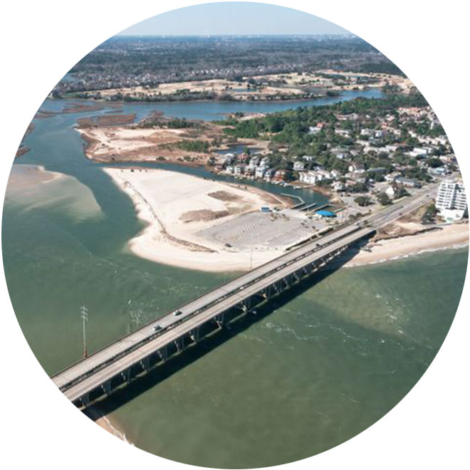
Since Spring 2022, MAP has been engaged by the City of Virginia Beach and Dewberry Engineers on the Virginia Beach Wetland and Floodplain Restoration Project. This groundbreaking project includes restoration of historic tidal wetlands, installation of a living shoreline, and stabilization and expansion of various stormwater channels to mitigate flooding in affected neighborhoods in the Elizabeth River watershed. Thus far, MAP has delineated wetlands on a 220-acre project area (which includes portions of Woods of Avalon Park, Ferry Point Park, Carolanne Farms Neighborhood Park, and Arrowhead Elementary School) and conducted a survey along 5,000 linear feet of tidal marsh.
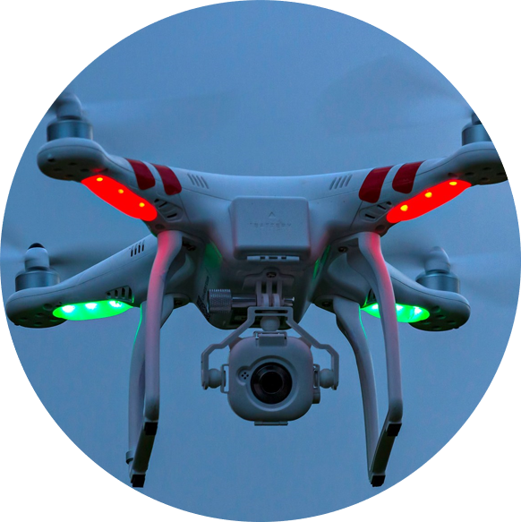
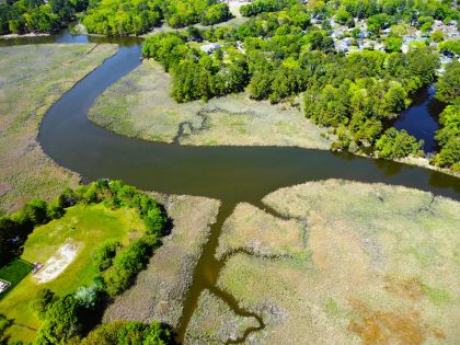 Aerial from Carolanne Farms Park in Virginia Beach
Over time, tidal marsh within this area has degraded and substantial floodplain has been lost. Ultimately, MAP will prepare a vegetation restoration plan for lost tidal marsh in order to re-establish the shoreline to its former function as a valuable flood resiliency tool.
Our team at MAP is excited and proud to be a part of such an important pilot project that will aide Virginia Beach in achieving sustainable and resilient shorelines!